Home » Mount Olympus » Routes
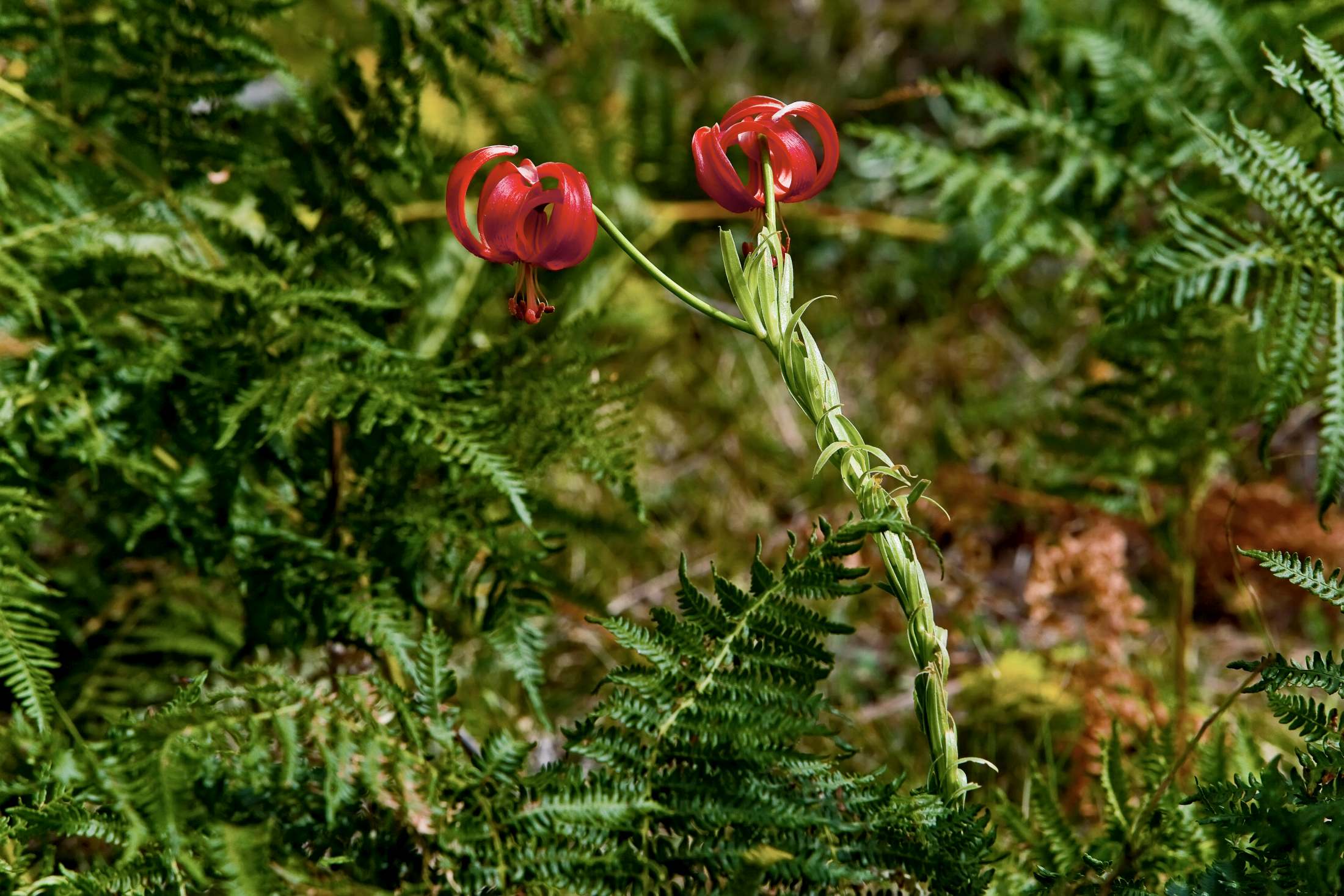
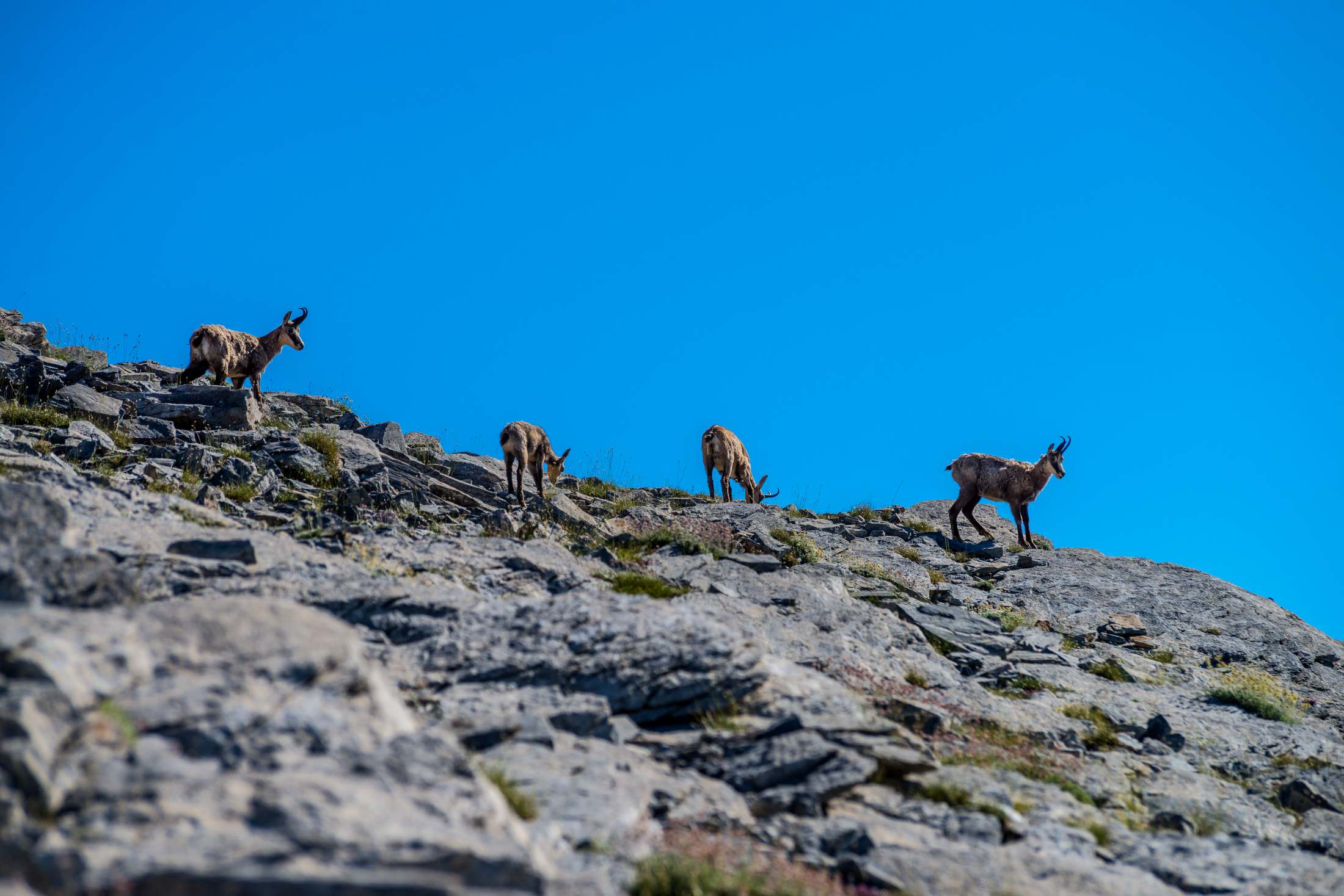
The area of the Municipality of Elassona, the western gateway to Mount Olympus, offers unique opportunities for travelers seeking authentic contact with nature and mountain adventure. At the foot of the legendary Mount Olympus, visitors can follow a variety of hiking and road trails that cross fir-covered slopes, alpine meadows, and traditional settlements. Many routes start in the town of Elassona, but also in the villages near Olympus, such as Karya, Livadi, Tsaritsani, Kokkinopilos, and Kalyvia. The slopes of western Olympus offer options for gentle eco-tourism activities up to the Christaki Refuge, as well as more demanding climbs up to Mytikas. The routes combine impressive landscapes, clean air, and a sense of tranquility. Here, every step brings the traveler closer to the grandeur of Olympus and the authentic experiences of Thessalian nature.
22 km
50 min
Spring / Summer / Autumn
Car Route (4x4)
If you’re looking to experience the magic of Mount Olympus without strenuous hiking, this route is ideal. From Elassona to Christaki Refuge, the 22.2 km drive takes about 50 minutes with a 4×4 vehicle, as it follows a rugged dirt road through shifting landscapes.
As you ascend, the scenery transforms—from the fertile pastures of the lowlands to the bare alpine slopes of Olympus. Christaki Refuge (2,550 m) offers breathtaking views of the peaks, and it’s a great place to enjoy a barbecue with high-quality meats from Kalyvia, a village known for its high-quality livestock products.
The road is paved until Kalyvia. Beyond that point, a 4×4 vehicle is strongly recommended due to the terrain conditions.
5 km
3 hours
Summer / Autumn
Hiking
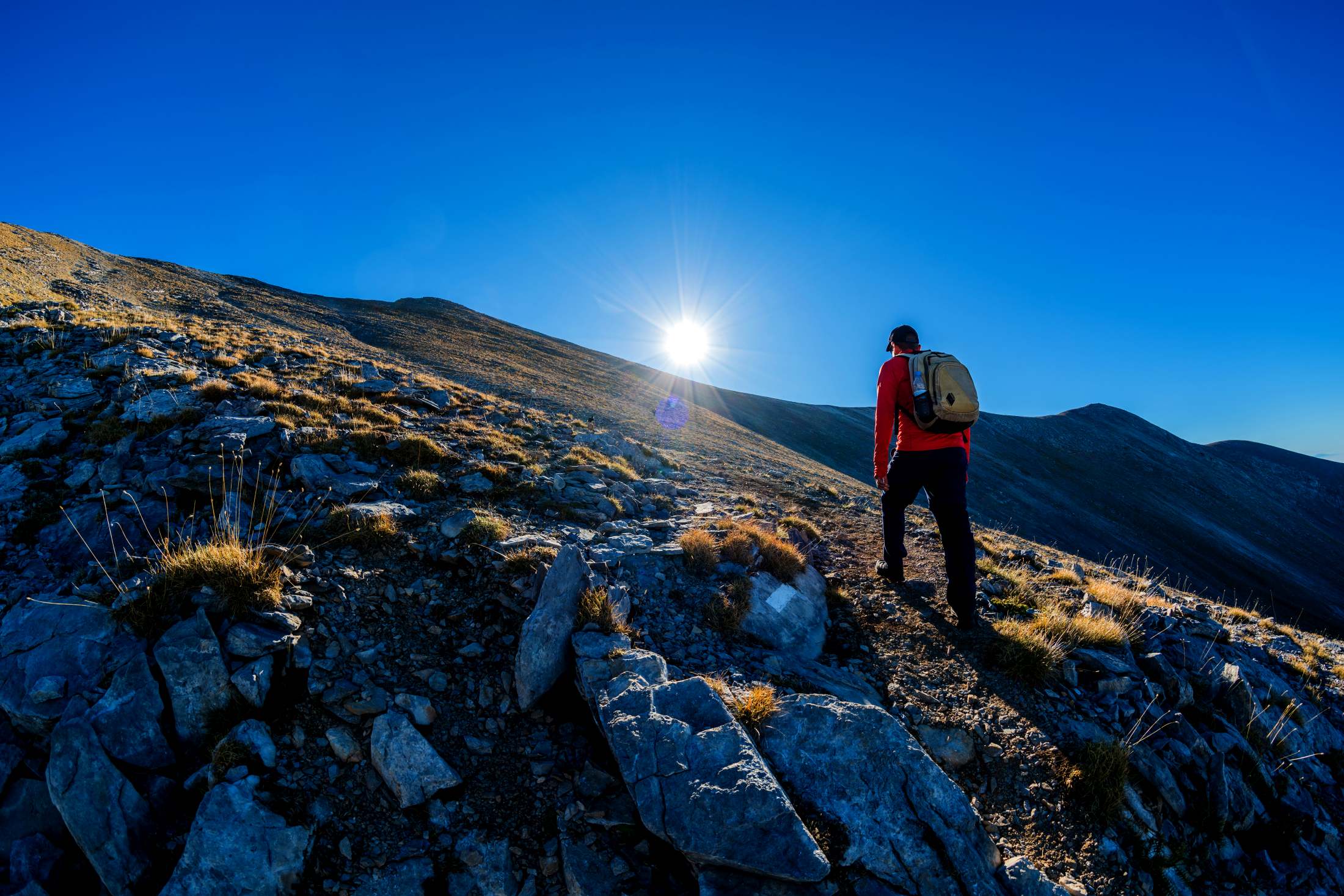
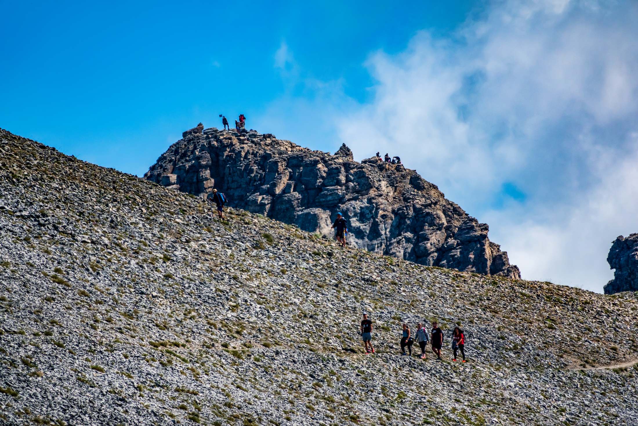
One of the shortest yet most impressive routes to Mytikas, the highest peak in Greece. The total distance is around 5 km and the hike takes about 3 hours, with a moderate to difficult difficulty level.
The journey starts at Christaki Refuge (2,550 m), which is accessible by dirt road—4×4 vehicles are recommended.
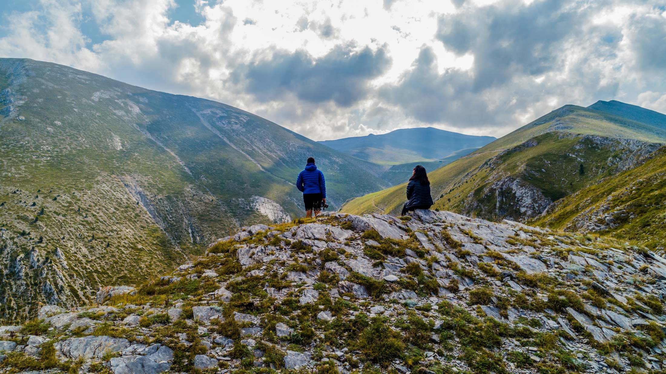
From the refuge, the path climbs steadily toward Skolio Pass and then up to Skala Peak (2,866 m). The alpine landscape, bare of vegetation, provides open views across the peaks and all the way to the sea.
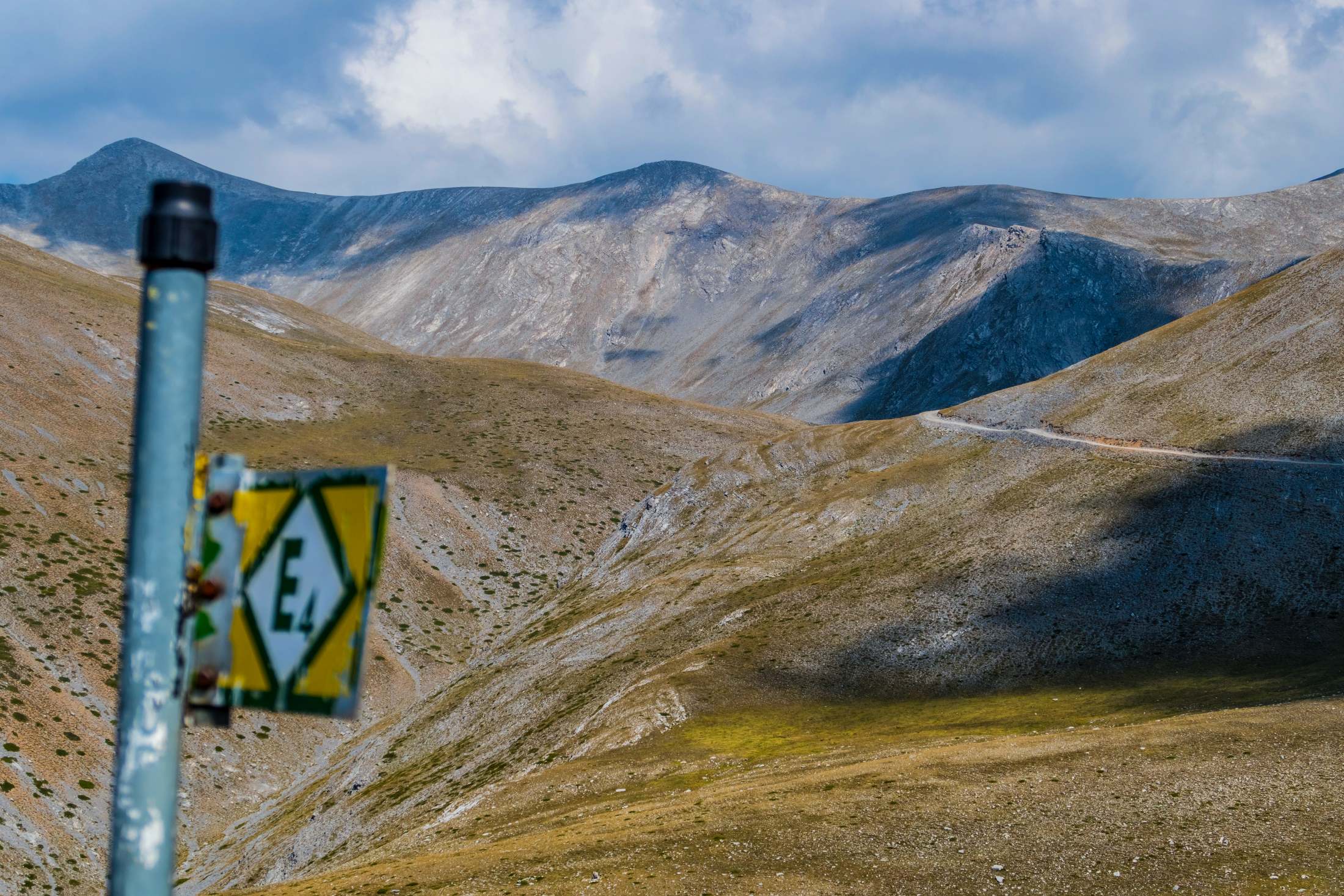
At Skala, the trail becomes more demanding. Following the red marks on the rocks, you reach Mytikas at 2,918 m—the summit of the mountain of the gods.
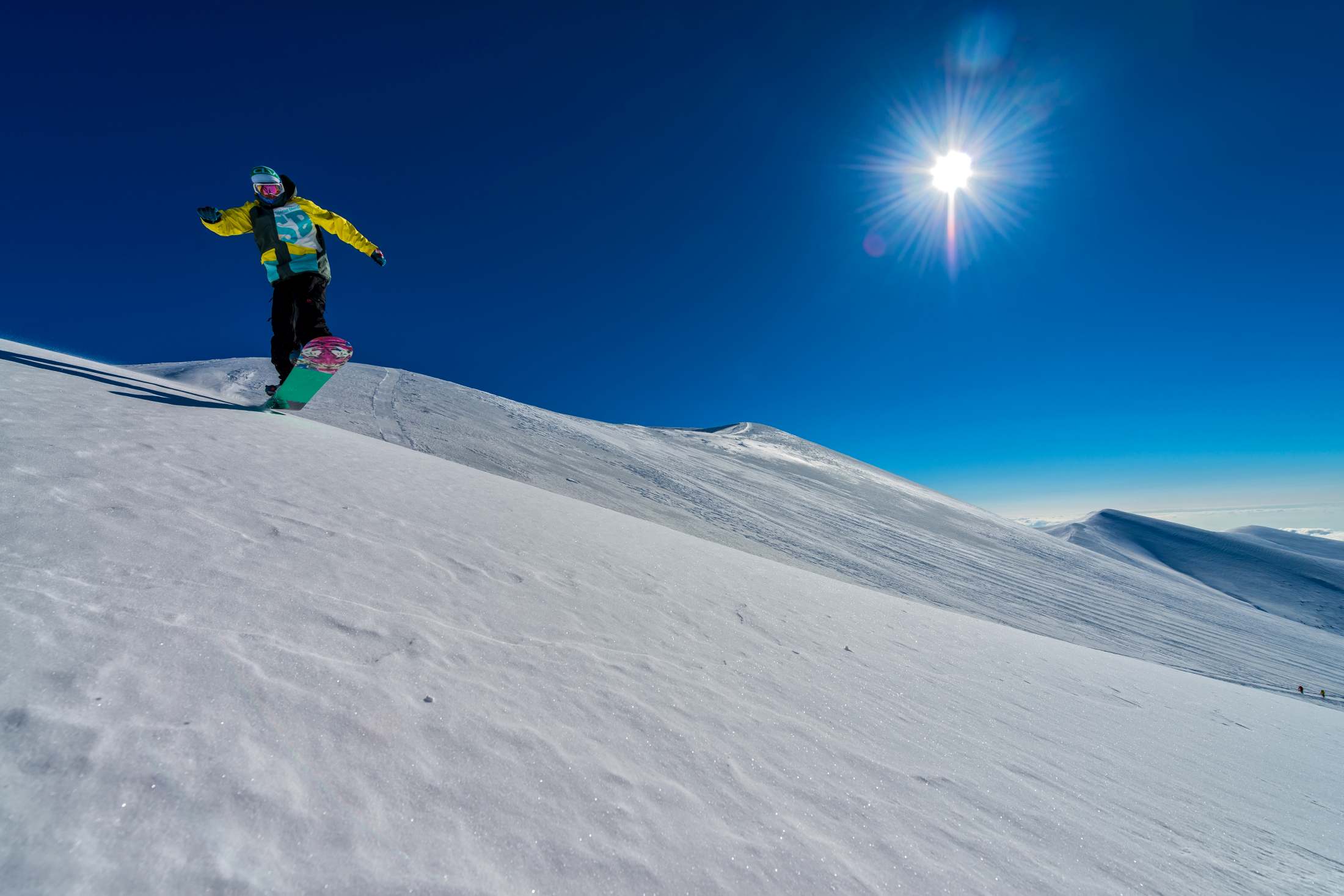
4,3 km
3 hours
Winter
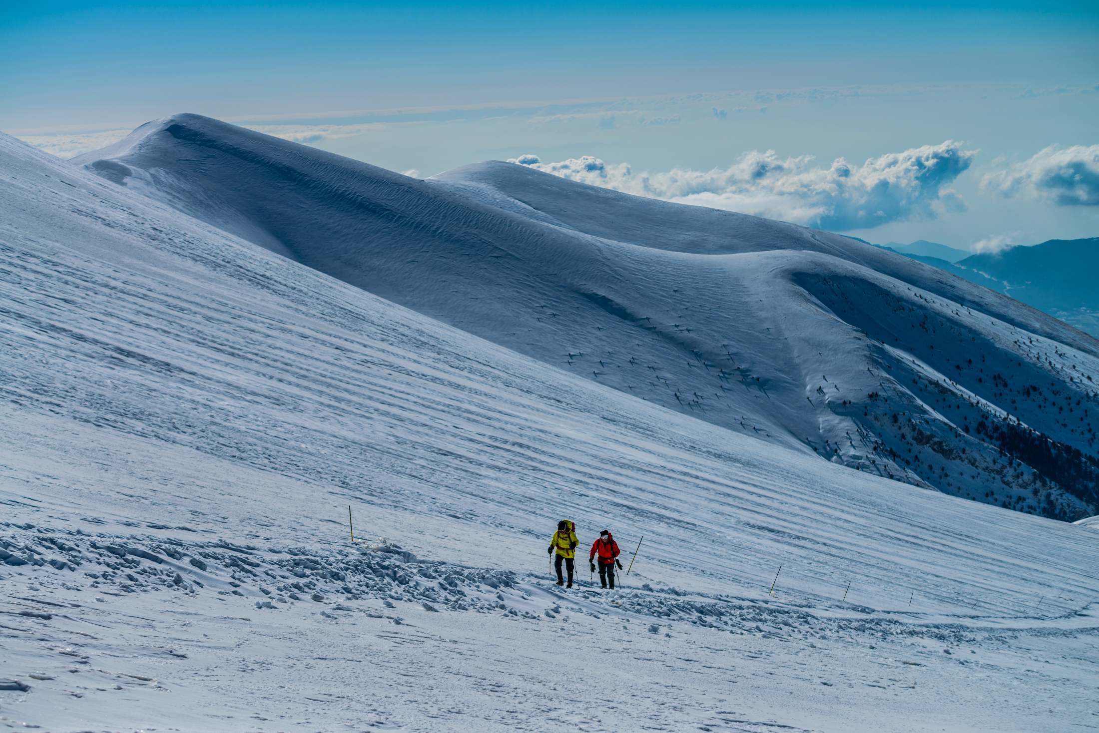
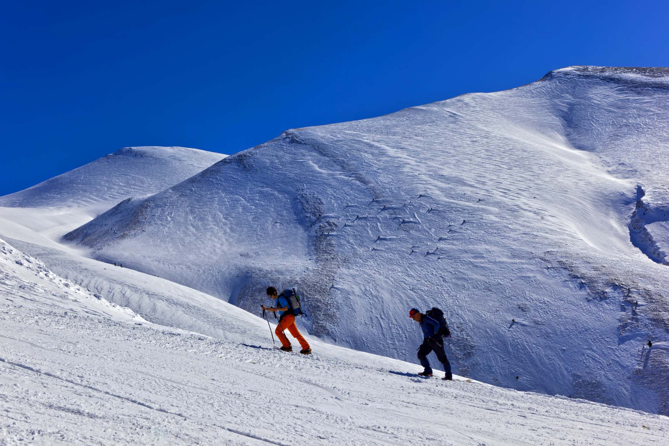
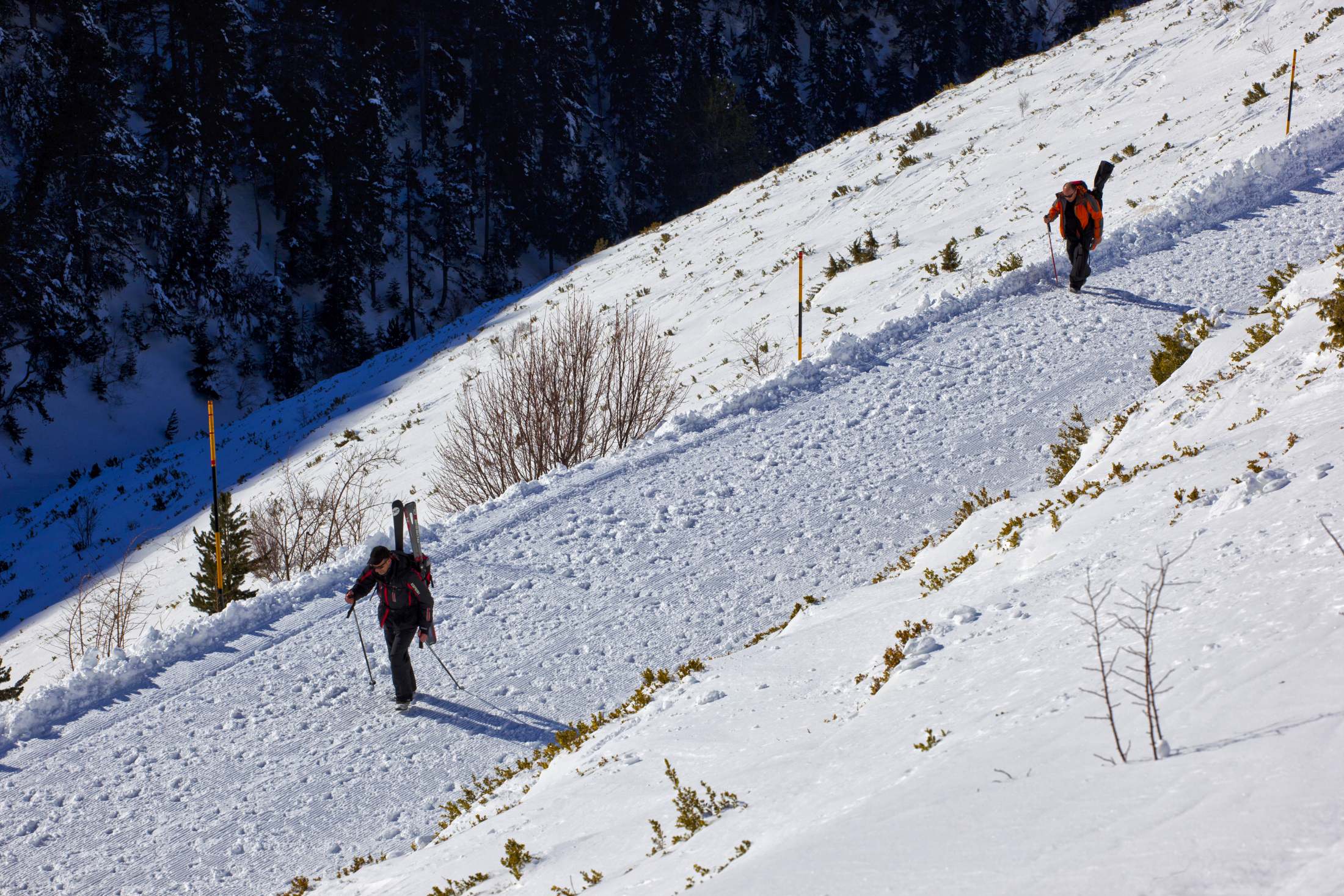
Ski Mountaineering
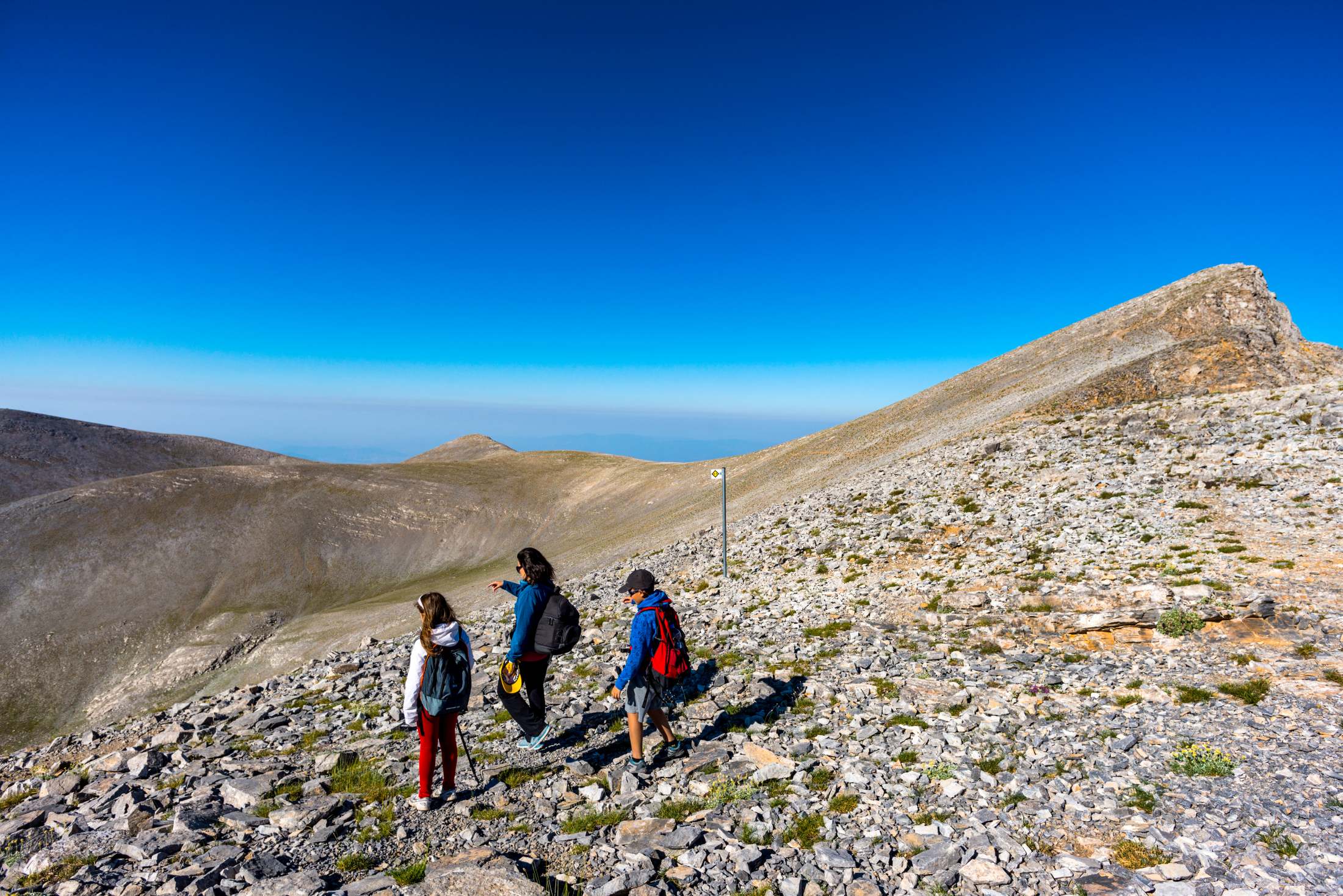
A relatively easy yet stunning winter hike, taking about 3 hours, begins at Vrysoypoules (1,805 m), near the Greek Army’s Mountain Training Center (KEOAX).
Following the trail past the ski lift towers, you’ll reach the “Kostas Mingotsidis” emergency shelter at 2,450 m. The landscape here is alpine and barren, offering dramatic views, especially when snow covers the slopes.
The route continues toward the summit of Agios Antonios (2,817 m), where an emergency shelter still stands—once used as a weather station by Aristotle University of Thessaloniki.
The trail can be hiked in other seasons as well. From the summit, you can extend your journey to Skolio, Skala, and Mytikas or return to Christaki Refuge.